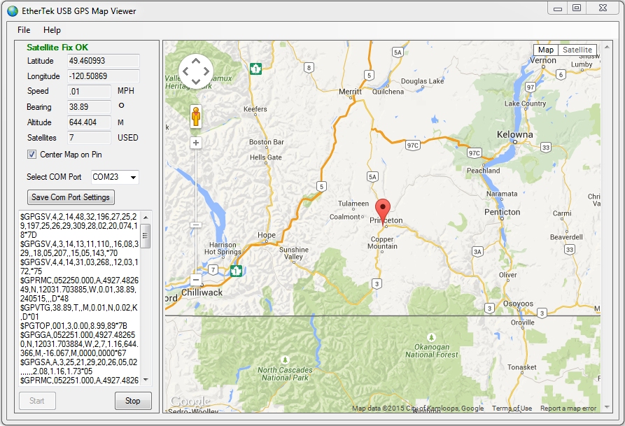
USB GPS Map Viewer Software
The EtherTek Circuits USB GPS Map Viewer software works with almost any USB GPS that outputs NMEA strings
at 9600 baud.
Four easy steps to view beautiful maps. (Internet connection necessary.)
Download: UsbGPS.exe.
V1.00 May 23, 2015

Our Story
EtherTek Circuits started its business in 2001. Ever since we have provided remote monitoring and control solutions for Remote Tower Sites, the Oil & Gas industry, Telemetry systems for Agriculture, Municipalities, Mines, Solar Farms, Hydro Plants, and the Military.


